ZetaWare, Inc.
Interactive Petroleum System Tools
|

|
1 / 3

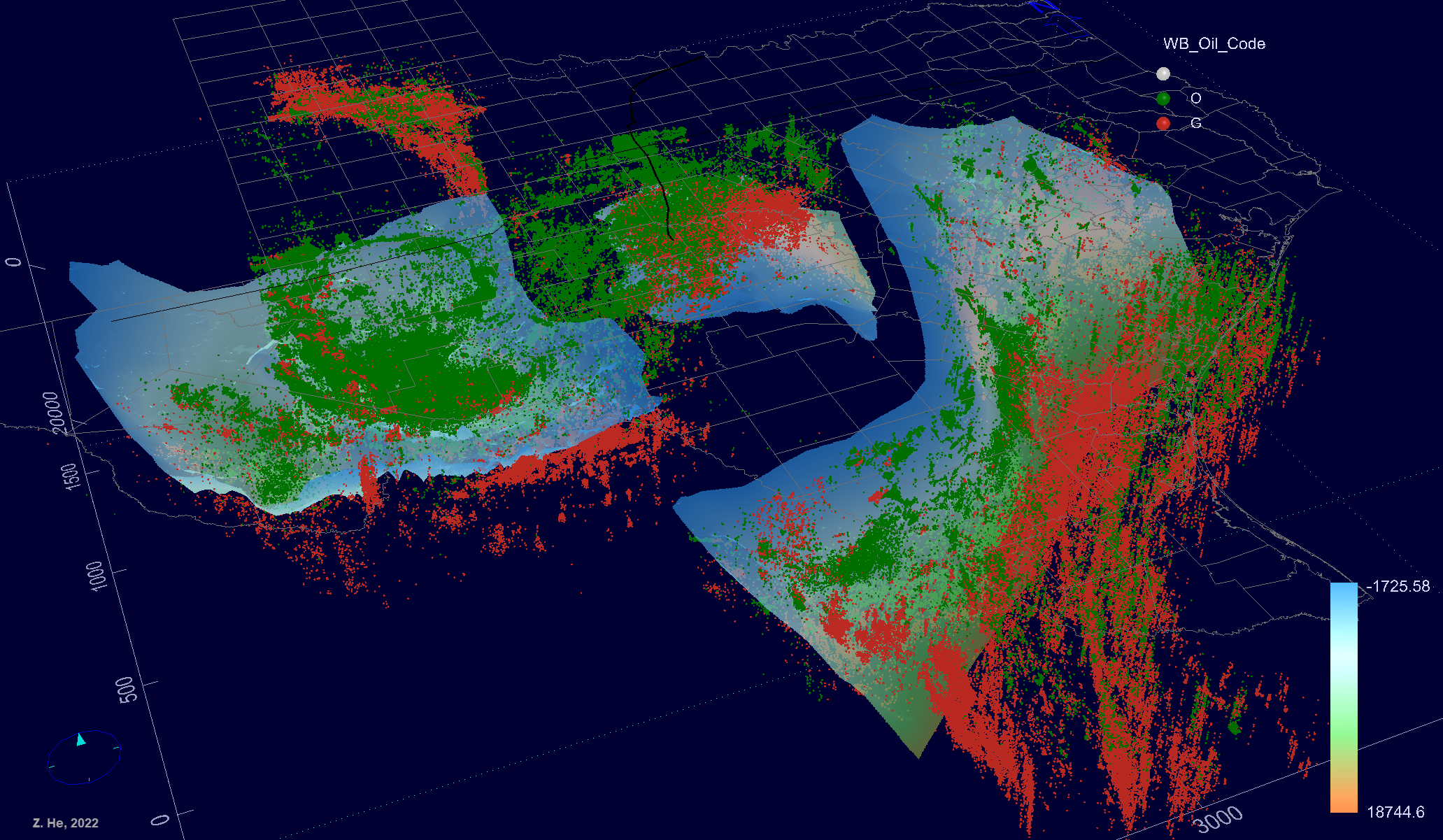
Big data visualization and geo-spatial analytics, for top-down petroleum system analysis. The only available tool in the industry to integrate seismic, well logs, stratigraphy & interpretation with any kinds of data to explore trends and relationships. This can be used for any data types, wells, production, petrophysical, fluids, geochemistry … the application is endless. Oracle, ESRI Geo-Database compatible. Best tool for digital basin, digital oil fields
2 / 3

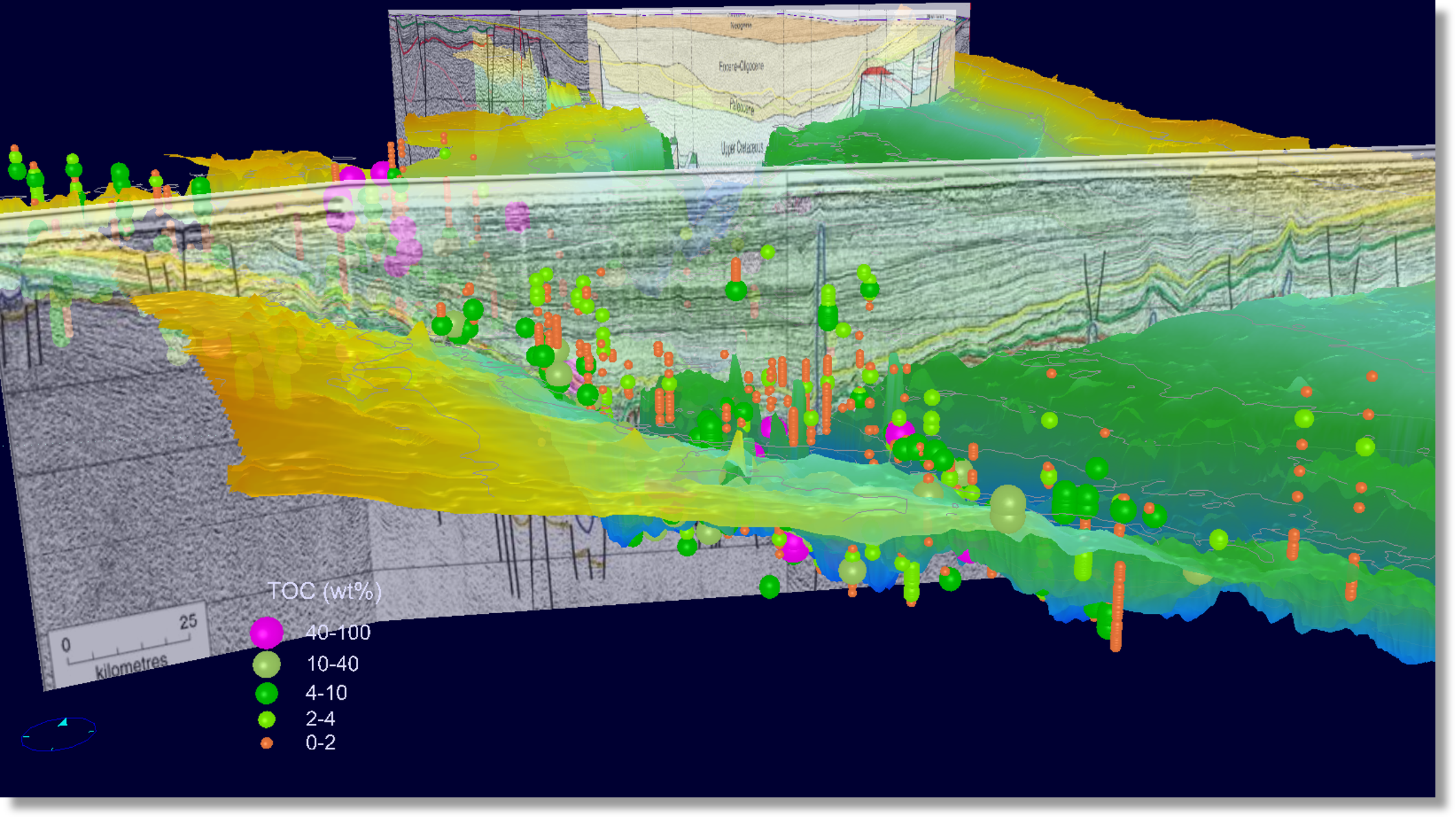
Source rock or any rock of fluid data can be visualized in 3D geological context, realt ime analysis and filtering. See data with seismic and logs.
3 / 3

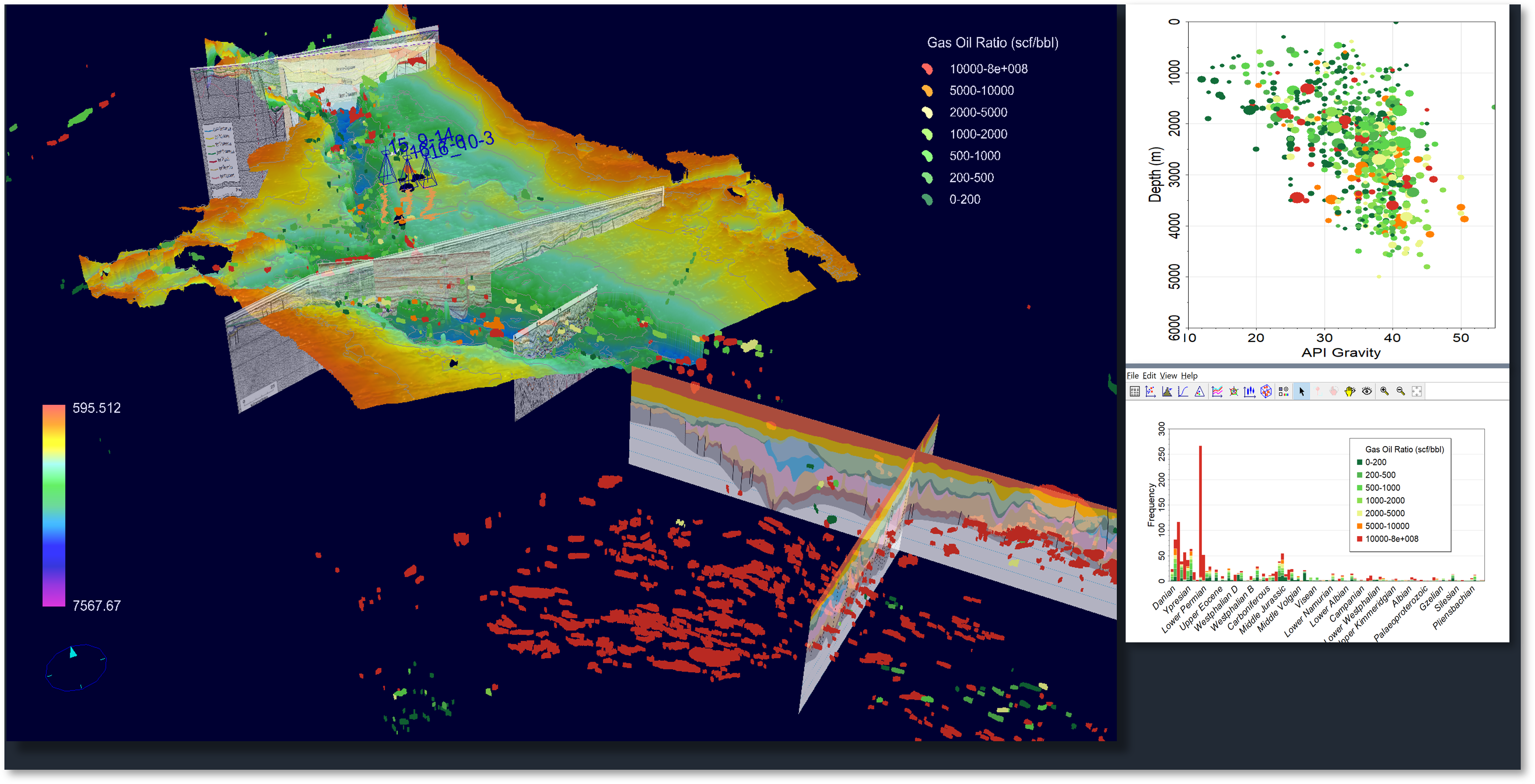
Most important part of top-down PSA is to analyze petroleum fluids in geo-spatial context, with all kinds of data and images. Fluid type and properties are controled by geology, and can only be understood and predicted incorporating the geological context.
❮
❯

